
DRONE PHOTOGRAPHY & VIDEO IN BRIDGEND
AERIAL PHOTOGRAPHY & DRONE FILMING BRIDGEND
Professional aerial photography and drone video for construction, property, inspections, industry, tourism, events and commercial projects across Bridgend and the surrounding area.
Coverage includes Porthcawl, Pencoed, Maesteg, Pyle, Kenfig Hill, Sarn, Tondu, Brynmenyn, Coity and nearby communities across Bridgend County Borough.
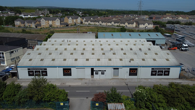
BRIDGEND AERIAL COVERAGE
Photography + drone video
GVC + A2 CofC qualified
Commercial drone insurance
High-resolution aerial stills
4K/6K aerial video
Urban, industrial and coastal work
Construction and property coverage
| BRIDGEND FLIGHT PLANNING | WHAT DOES THE VIEW NEED TO SHOW? |
Bridgend drone flights need careful planning in built-up areas
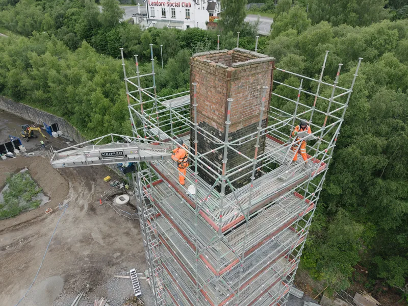
Start with the practical question
A drone can answer practical questions quickly: what condition is a roof in, how large is a development plot, where is the access, how is a construction site progressing, or how does a venue sit within its surroundings?
Match the flight to the location
Bridgend combines town-centre property, industrial estates, housing development, valleys and exposed coastline around Porthcawl. The exact address changes the practical operating conditions considerably.
Agree the useful viewpoints first
For larger commercial sites, estates and developments, the important angles are agreed before attendance so the flight produces useful material rather than excessive coverage.
Use stills and video differently
Photography can document a site efficiently. Video movements usually need more planning and repeat takes so the final clips work properly in a wider edit.
Plan around live site conditions
People, roads, buildings, vehicles, cranes, weather and take-off positions are considered before flying, particularly on active construction and industrial sites.
BRIDGEND DRONE SERVICES
Aerial coverage for the jobs local businesses actually commission
Photography, aerial video or both can be planned around the site and final use.
Construction & development
Document progress, layout, infrastructure and completed work for contractors, developers, stakeholder reports and marketing.
Commercial & industrial
Show factories, warehouses, yards, offices, parking and road access around Bridgend Industrial Estate and nearby business areas.
Property & inspections
Capture houses, commercial property, plots, rooflines, access and surrounding context, or inspect areas that are difficult to see from ground level.
Tourism, venues & events
Use recognisable location views for Porthcawl, venues, hospitality, campaigns and events where the wider setting matters.
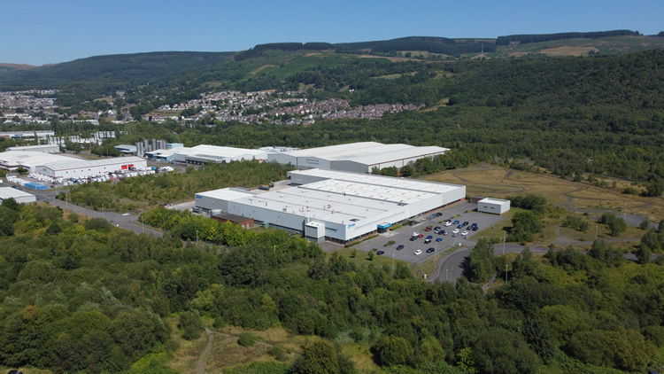
WHAT SHOULD THE FINAL SET SHOW?
Use the aerial view to make the site easier to understand
Scale and layout
Show buildings, roads, parking, boundaries and open areas in relation to each other.
Access
Wider photographs can explain entrances, approach roads and how a commercial or development site connects with the surrounding area.
Progress and condition
Construction, roof and inspection work benefits from clear viewpoints that can be reviewed or compared later.
Setting
For coastal and rural projects around Porthcawl, Ogmore and the western side of the county, a wider view can show why the location itself matters.
DRONE COVERAGE ACROSS THE BRIDGEND AREA
Bridgend and nearby towns
Town centre, industrial estates, valleys, new housing and coastline all create different flight-planning considerations.
Bridgend, Coity & Brackla
Commercial property, housing, education, town-centre projects and development work often need a mixture of wider context and closer building coverage.
Pencoed, Bryncae & Coychurch
Property, development and commercial sites around the eastern side of Bridgend can benefit from clear views of plots, road access and surrounding land.
Sarn, Tondu & Brynmenyn
Retail, industrial, road infrastructure and development sites are well suited to progress photography, site-layout imagery and wider commercial context.
Maesteg, Nantyffyllon & Caerau
Valley locations can use aerial photography to explain landform, access and the relationship between property, industrial sites and surrounding hillsides.
Porthcawl, Nottage & Newton
Tourism, hospitality, property, venues and coastal development can use the sea and surrounding coastline as genuine context, with wind and public activity forming part of the flight plan.
Pyle, Kenfig Hill & Cornelly
Residential, industrial, retail and land projects can often be shown clearly with wider views of access, plot and surrounding development.
Ogmore Vale, Blackmill & Pontycymer
Rural and valley sites often benefit from aerial context showing access roads, land, buildings and surrounding terrain in one view.
Laleston, Ewenny & the western outskirts
Property, land, rural businesses and development sites can use wider aerial views to show boundaries, access and the transition between Bridgend and the surrounding countryside.
HOW A BRIDGEND DRONE SHOOT WORKS
From exact location to delivered aerial files
Good information at the start makes it easier to assess the site and use the available flight time well.
01
Send the address and brief
Provide the Bridgend-area address or pin, preferred date, required views and intended use.
02
Assess the site and operating conditions
Airspace, weather, people, roads, buildings, access and safe operating positions are checked before attendance.
03
Capture the priority coverage
The flight works through the agreed photographs, inspection areas or video movements rather than collecting unnecessary material.
04
Receive organised files
Edited photographs, agreed clips or source footage are supplied digitally for web, reporting, property, marketing or production.
DRONE PHOTOGRAPHY & VIDEO BRIDGEND
Have a Bridgend-area site that needs to be seen clearly from above?
Send the exact location, preferred date and the views you need. The site can then be assessed and the aerial coverage planned around the job.