DRONE PHOTOGRAPHY & VIDEO IN CARDIFF
AERIAL PHOTOGRAPHY & DRONE FILMING CARDIFF
Professional drone photography and aerial video for construction, property, inspections, television, tourism, events and commercial projects across Cardiff and Cardiff Bay.
Flights are planned around the exact address, airspace, access, nearby people and the views the finished project actually needs.
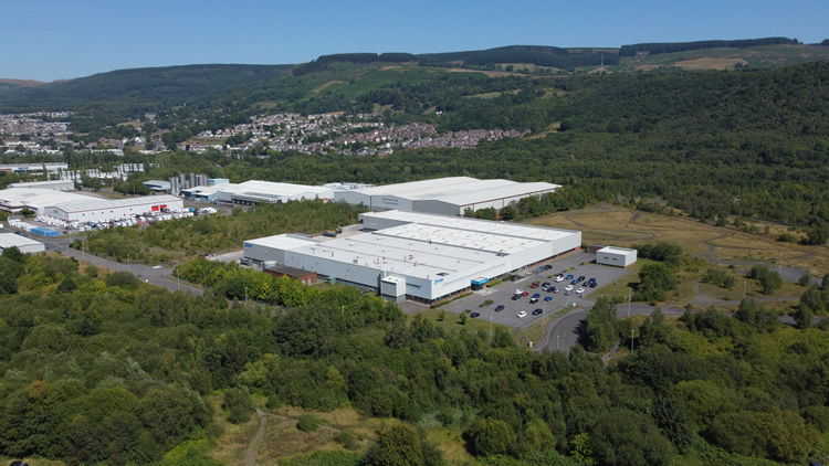
CARDIFF AERIAL COVERAGE
Photography + drone video
GVC + A2 CofC qualified
Commercial drone insurance
High-resolution aerial stills
4K/6K aerial video
Urban site planning
Ground + aerial production available
| CARDIFF FLIGHT PLANNING | WHAT DOES THE VIEW NEED TO SHOW? |
Cardiff drone flights need careful planning in busy airspace and built-up areas
Start with the question the aerial view needs to answer
A drone can answer practical questions quickly: how large is the site, where is the access, what condition is a roof in, how is construction progressing, or how does a venue sit within its surroundings?
Plan around Cardiff's urban environment
Roads, railways, public areas, tall buildings, venues, land ownership and temporary restrictions can all affect what is practical. The exact address is checked before the flight is confirmed.
Agree the priority photographs or movements first
For larger sites, developments or productions, we agree the useful viewpoints before attendance so the flight produces material with a clear purpose rather than excessive coverage.
Use stills and video differently
Photography can document a site quickly. Video movements usually need more planning, repeat takes and controlled flight paths so the clips cut cleanly into a wider edit.
Combine aerial coverage with ground production when needed
Drone footage can be supplied on its own or combined with interviews, ground-camera footage and sound for case studies, promotional films and production work.
CARDIFF DRONE SERVICES
Choose the type of aerial work
Quick links to the main drone photography and filming services available in Cardiff and across South Wales.
Drone Photography
High-resolution aerial images for commercial property, land, development, tourism and marketing.
4K / 6K Drone Video
Planned aerial footage for television, corporate films, events, campaigns and online content.
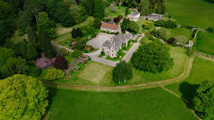
Property Marketing
Aerial photography and video for homes, commercial property, estates, plots and listings.
Construction Progress
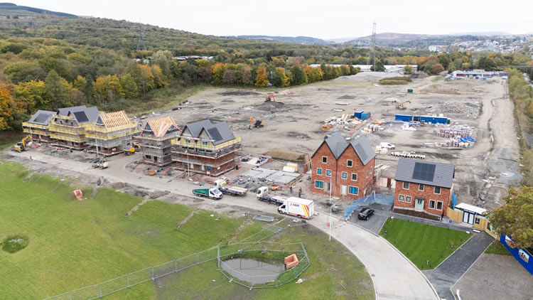
Repeatable site photography and aerial overviews for construction, regeneration and development.
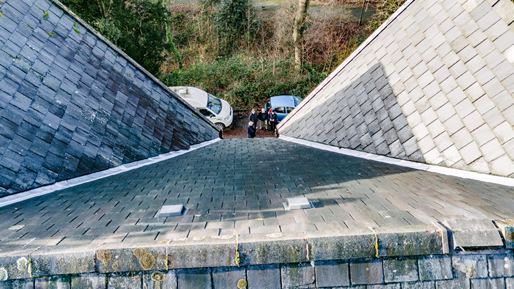
Drone Inspections
High-resolution aerial views of roofs, buildings, structures and difficult-to-reach areas.
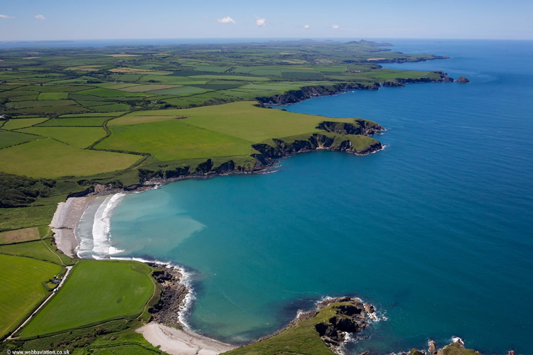
CARDIFF DRONE SERVICES
Aerial coverage for the jobs Cardiff businesses actually commission
Photography, aerial video or both can be planned around the site and final use rather than repeating the same flight pattern for every job.
Construction & regeneration
Document site layout, access, progress and completed work for contractors, developers, stakeholder reports and marketing.
Property & development
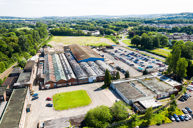
Show buildings, plot, access, parking, rooflines and surrounding context for residential, commercial and development sites.
Inspection & evidence
Capture clear roof, building and site imagery where an aerial view can reduce guesswork and show areas that are difficult to inspect from the ground.
TV, events & marketing
Plan establishing shots, reveals and wider location views for production, tourism, venues, campaigns and event coverage.
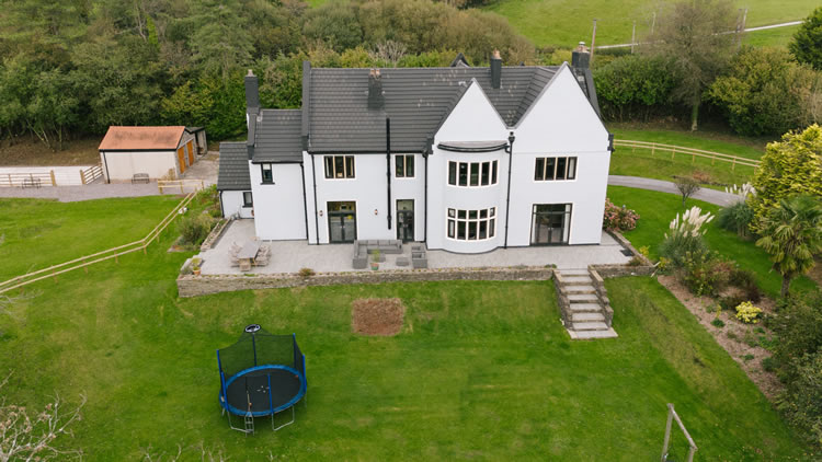
WHAT SHOULD THE FINAL SET SHOW?
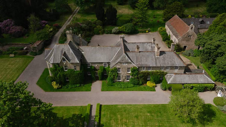
Use the aerial view to make the Cardiff site easier to understand
A strong aerial set normally mixes useful context with closer detail rather than relying on one dramatic overhead.
Scale and layout
Show the relationship between buildings, roads, open areas, boundaries, parking and neighbouring features.
Access and surroundings
Wider photographs can explain entrances, approach roads and how the site sits within Cardiff or Cardiff Bay.
Progress and condition
Construction, roof and inspection work benefits from clear viewpoints that can be compared or reviewed later.
Video movement
Establishing, reveal, approach and tracking shots are planned around the final edit rather than flown simply because the aircraft can make the move.
CARDIFF AERIAL PHOTOGRAPHY EXAMPLES
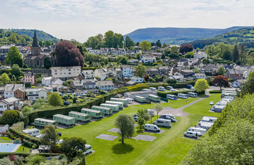
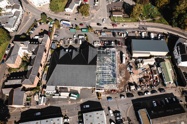
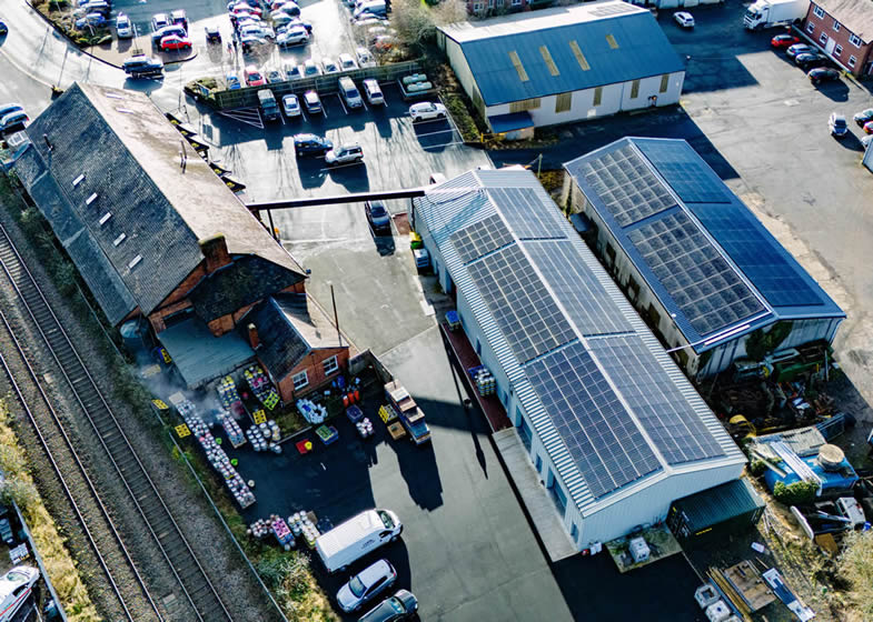
Different briefs need different aerial views
Property, construction and commercial work can all benefit from photographs that clearly show scale, access, surrounding context and site condition.
DRONE COVERAGE ACROSS CARDIFF
Cardiff areas and typical aerial work
The operating conditions can change considerably across the city. Each address is checked individually before attendance.
Cardiff Bay, Butetown & Atlantic Wharf
Waterfront property, venues, tourism, regeneration and commercial developments often benefit from wider views that show the relationship with the Bay and surrounding city.
City Centre, Central Quay & Grangetown
Construction, offices, architecture and regeneration need careful planning around busy streets, rail infrastructure, public areas and tall buildings.
Canton, Pontcanna, Llandaff & Fairwater
Residential property, schools, venues and local commercial sites can need a mixture of wider location views and closer building coverage.
Radyr, Morganstown & Creigiau
Property, land and development projects often have more space for useful context shots showing plots, access and surrounding landscape.
Llanishen, Heath & Cyncoed
Healthcare, education, offices and residential property create varied briefs, with the exact site and neighbouring uses shaping the operating area.
Pontprennau, Cardiff Gate & St Mellons
Business parks, warehouses, development and larger commercial sites are well suited to progress photography, site context and completed-project aerials.
Newport Road, Splott & Pengam
Industrial, retail and infrastructure work can use aerial photography to explain footprint, road access, working areas and surrounding development.
Culverhouse Cross, St Fagans & Ely
Retail, property, land, heritage and development briefs can range from straightforward documentation to wider establishing coverage.
NEED MORE THAN THE AERIAL VIEW?
Combine Cardiff drone footage with a complete ground production
Aerial coverage can stand alone, but many Cardiff projects need interviews, close detail, ground-level movement, sound and supporting footage as well.
For corporate films, case studies, property interiors or broader commercial filming, the aerial work can be planned alongside the wider production so the shots match in purpose and style.
HOW A CARDIFF DRONE SHOOT WORKS
From location and brief to delivered aerial files
Good information at the start makes it easier to assess the site and use the available flight time well.
01
Send the exact location and brief
Provide the Cardiff address or postcode, preferred date, required views and intended use.
02
Assess the site and plan the useful views
Airspace, access, weather, people, property and operating positions are checked before attendance.
03
Capture the agreed aerial photography or video
The flight works through the priority views, inspection areas or planned movements rather than collecting unnecessary material.
04
Receive organised files for their intended use
Edited photographs, agreed video clips or source footage are supplied digitally for web, reporting, marketing or production.
CARDIFF DRONE FAQ
Practical questions before booking a flight
Can you fly a drone anywhere in Cardiff?
No. The exact location, airspace, people, property, take-off position and any temporary restrictions need to be assessed before the flight.
Can you work in Cardiff city centre or Cardiff Bay?
Potentially, yes. Built-up areas simply need more planning. Send the exact address first so the practical operating area can be checked.
Can you provide repeat construction progress visits?
Yes. Useful viewpoints can be recorded so later visits show meaningful change, although cranes, scaffolding, weather and site activity may require adjustments.
Can you provide both aerial photographs and video?
Yes. Photography and aerial video can be captured during the same planned visit where the site, weather and brief allow.
Do you supply raw footage for production companies and agencies?
Yes. Source footage can be supplied clean and organised for an external edit, or the aerial material can form part of a complete production.
DRONE PHOTOGRAPHY & VIDEO CARDIFF
Do you have a Cardiff site that needs to be seen clearly from above?
Send the exact address, preferred date and the views you need. The site can then be assessed and the aerial coverage planned around the job.