DRONE PHOTOGRAPHY & FILMING IN PONTYPRIDD
AERIAL PHOTOGRAPHY PONTYPRIDD
Professional drone photography and aerial video across Pontypridd and Rhondda Cynon Taf for property, construction, business, inspections, events and marketing projects.
From town-centre property and university locations to industrial estates, housing, development sites and the surrounding valleys, each flight is planned around the exact site and the views the project actually needs.
PROFESSIONAL DRONE SERVICES
Photography, video & inspections
✓ GVC qualified
✓ A2 CofC qualified
✓ Commercial drone insurance
✓ High-resolution aerial stills
✓ 4K/6K aerial video
✓ Flight planning included
| DRONE WORK AROUND PONTYPRIDD | PROPERTY • BUSINESS • EVENTS |
AERIAL COVERAGE SOUTH WALES
Property and roof inspections
Aerial stills can show roofs, chimneys, plots, access and neighbouring features clearly, whether the brief is marketing a property or checking a difficult-to-see part of a building.
Construction and development sites
Site layout, access, structures and visible progress can be recorded from planned viewpoints, with repeat visits using similar positions where useful.
Town and university locations
Busy streets, pedestrians, campus activity, neighbouring property and road traffic can all affect the operating position. The exact location is assessed before attendance.
Business and marketing imagery
Commercial premises, industrial units and local organisations can use aerial views for websites, brochures, campaigns and wider promotional films.
Events and public locations
Crowds, temporary structures, public roads and site management can change the usable flight area. Event aerials are planned around the organiser and actual timetable.
PONTYPRIDD DRONE SERVICES
Aerial photography for property, business and events
From property and farms to tourism, construction, land and commercial filming, we provide practical aerial coverage around Pontypridd and Rhondda Cynon Taf and South East Wales.
Property & land
Show homes, rural property, grounds, fields and access with clear aerial views that make the layout and setting easier to understand.
Tourism & hospitality
Venues, local organisations, businesses and visitor attractions can use Pontypridd’s valley setting and surrounding hills as genuine location context.
Construction & commercial
Document developments, business premises, industrial sites, external works and visible progress around Pontypridd and the surrounding valleys.
Roof & site inspections
Focused aerial stills can show roofs, elevations, chimneys and hard-to-see areas, subject to a safe operating position with clear visibility.
PONTYPRIDD & RHONDDA CYNON TAF
Show scale, access and valley context
Pontypridd combines a busy town, university sites, commercial areas, housing and steep valley surroundings. The best aerial angle depends on whether the job is explaining a property, documenting a site or creating a stronger marketing image.
Property and land
Aerial views can show a building, plot, access and neighbouring features together for sales, development or site records.
Construction and business
Developments, commercial premises and industrial sites can be photographed for progress, marketing and wider project communications.
Events and organisations
Venues and public events can use carefully planned aerials to establish scale and location, with crowd levels and site operations considered before flight.
Ground plus aerial coverage
Interviews, ground-camera filming, sound and editing can be combined with the aerial work when a project needs a complete film rather than drone material alone.
AERIAL VIDEO EXAMPLES
See the movement, not just the stills
Selected aerial clips showing the kind of movement, scale and establishing coverage available for property, construction, tourism and commercial projects.
DRONE COVERAGE AROUND PONTYPRIDD
Pontypridd and Rhondda Cynon Taf
Coverage includes Pontypridd itself and nearby communities for property, construction, business, events, inspections and commercial work.
Pontypridd town & Treforest
Property, business, university, roof-inspection and event projects around Pontypridd and Treforest.
Treforest Industrial Estate
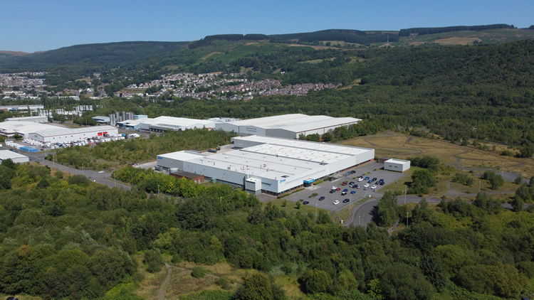
Industrial units, commercial property, construction, facilities and site-progress work around the estate and nearby A470 corridor.
Taff's Well & Nantgarw
Commercial, property and development work south towards Taff’s Well and Nantgarw.
Church Village & Llantwit Fardre
Residential property, development, schools, community sites and local business projects across the western side of the area.
Tonypandy & Porth direction
Coverage extends up the Rhondda for property, construction, tourism, events and local commercial work.
Mountain Ash & Cynon Valley
Projects can extend north-east towards Mountain Ash and the Cynon Valley for property, land, construction and commercial assignments.
Aberdare direction
For work further up the Cynon Valley, see our Aberdare drone photography page.
Caerphilly & Cardiff direction
Coverage also extends south-east towards Caerphilly and Cardiff for larger commercial and property projects.
HOW A PONTYPRIDD DRONE SHOOT WORKS
Simple planning before the drone goes up
Send us the location, what you need photographed or filmed and how the material will be used. We can then plan the right aircraft, shots and operating position before attendance.
01
Send the exact location
Include the required stills or video, intended use and any useful access or landowner information.
02
Plan the flight
We check the site, airspace, access, weather and the shots needed before attendance.
03
Capture the required angles
We work through the agreed stills or video shots efficiently, adapting the flight position where the site requires it.
04
Receive organised files
Edited photographs, agreed clips or source footage are supplied digitally for marketing, reporting, property or production use.
PONTYPRIDD DRONE FAQ
Practical questions
Mini 5 Pro or Mavic 4 Pro?
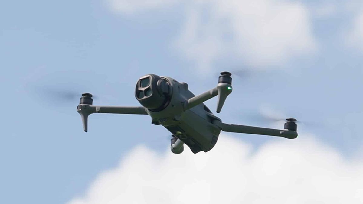
The DJI Mini 5 Pro is particularly useful in more congested or built-up settings around Pontypridd, Treforest and town-centre locations, where its compact 249g-class design gives us greater operational flexibility while still producing professional high-resolution photography and 4K video.
For cinematic filming in wide-open spaces, the DJI Mavic 4 Pro is the stronger choice. Its larger camera system, 6K capability and additional telephoto perspectives suit open valley landscapes, large sites and wider commercial establishing shots.
Can you inspect roofs and buildings?
Yes. Focused aerial stills can show tiles, chimneys, gutters, flat roofs and elevations. If a roofer, surveyor or facilities team has specific areas they need to see, send the brief in advance.
Can you fly around Treforest and the university?
Potentially. Campus activity, roads, pedestrians, neighbouring property, take-off access and the exact operating position all affect what can be achieved at a particular location.
Can you cover construction progress?
Yes. A single milestone visit can document a particular stage, or repeat flights can use similar viewpoints so visible change is easier to compare over time.
Can you film local events?
Potentially, with organiser and site coordination. Crowds, temporary structures, traffic management and public areas mean the flight plan must be designed around the actual event operation.
Can you combine drone and ground filming?
Yes. Interviews, workplace footage, property detail, sound and editing can be added when the final project needs a complete film rather than aerial imagery alone.
DRONE PHOTOGRAPHY RHONDDA CYNON TAF
Need aerial coverage around Pontypridd?
Send the specific location and tell us what you need. A map pin, brief shot list or example image is useful for planning the aerial shoot.