
DRONE PHOTOGRAPHY & VIDEO IN ABERGAVENNY
AERIAL PHOTOGRAPHY & DRONE FILMING ABERGAVENNY
Professional aerial photography and drone video for property, tourism, construction, land, inspections, hospitality and commercial projects in Abergavenny and the surrounding Monmouthshire countryside.
With the town sitting between the Blorenge, Sugar Loaf and Skirrid, aerial work here can combine useful site coverage with a strong sense of location when the brief calls for it.
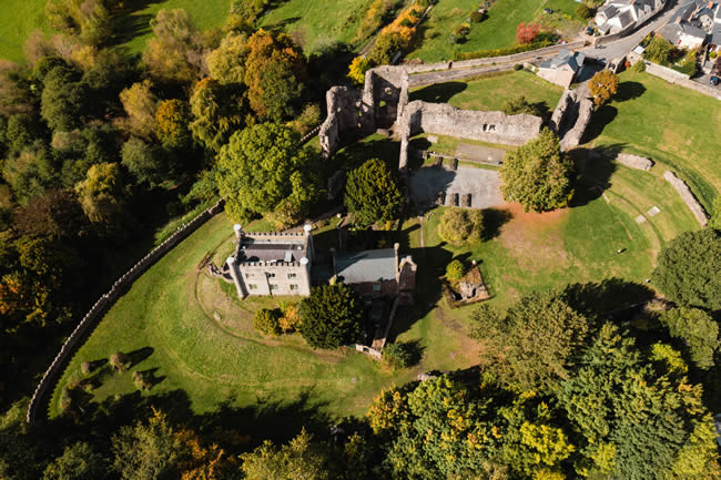
ABERGAVENNY AERIAL COVERAGE
Photography + drone video
GVC + A2 CofC qualified
Commercial drone insurance
High-resolution aerial stills
4K/6K aerial video
Property and land
Tourism and commercial work
| ABERGAVENNY FROM ABOVE | TOWN • PROPERTY • LANDSCAPE |
A strong setting is useful when it explains the subject
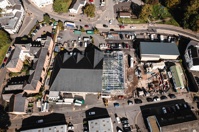
Show where the property sits
Aerial photographs can connect a house, venue, development or business with its grounds, access and surrounding landscape without losing sight of the actual subject.
Town-centre flights need careful planning
Busy streets, shops, housing, roads and public areas change the practical options in central Abergavenny. The take-off position and useful angles are considered before attendance.
Rural-edge sites offer different opportunities
Outside the denser centre, wider viewpoints can help show land, gardens, access roads, outbuildings and the relationship between a site and the surrounding countryside.
Mountain scenery should have a purpose
The surrounding hills are a major visual feature, particularly for tourism, hospitality and property. They work best as context rather than becoming an unrelated landscape shot.
Video requires planned movement
Approaches, reveals and establishing shots are chosen around the final film. Repeat takes may be needed to get the speed, framing and movement right.
ABERGAVENNY DRONE SERVICES
Useful aerial coverage for local projects
From a single building to a larger site, the coverage is shaped around the reason for commissioning it.
Property & estates
Show houses, grounds, gardens, access, outbuildings and larger plots with a combination of closer and wider views.
Tourism & hospitality
Hotels, accommodation, venues, restaurants and visitor businesses can use aerials to connect the location with Abergavenny’s surrounding landscape.
Construction & land
Document plots, building work, access and progress with clear viewpoints that can be repeated on later visits where useful.
Roof & site inspections
Capture roof areas, elevations and difficult-to-see details with focused stills rather than producing unnecessary volumes of imagery.
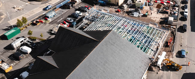
ABERGAVENNY HAS A DISTINCTIVE GEOGRAPHY
Town, valley and mountains in the same frame
Abergavenny’s setting gives aerial work a recognisable local character, but the subject should remain clear.
Property setting
Wider angles can show how a home, venue or development relates to neighbouring land and the valley.
Commercial context
For businesses and sites, aerials can explain parking, access, building footprint and surrounding roads quickly.
Tourism imagery
The hills around the town can provide genuine destination context for accommodation, events and visitor businesses.
Practical documentation
Construction progress, roofs and larger plots can be recorded from viewpoints that are difficult or impossible to achieve from the ground.
DRONE COVERAGE AROUND ABERGAVENNY
Town and immediate surrounding areas
Local coverage extends beyond the centre into the communities and rural-edge locations immediately around Abergavenny.
Abergavenny town centre
Commercial property, hospitality, events and town-centre projects require careful planning around roads, people and neighbouring buildings.
Llanfoist & the Blorenge side
Property, retail, development and rural-edge projects can use aerial views to show access, scale and the relationship with the Blorenge and surrounding valley.
Mardy & north Abergavenny
Residential property, local businesses, land and development can benefit from a mixture of closer building views and wider context.
Llantilio Pertholey & surrounding countryside
Larger plots, rural homes, farms and development sites can use aerial photography to show buildings, land, access and surrounding countryside together.
Govilon & Gilwern
Property, tourism, canal-side businesses, construction and rural sites west of Abergavenny can use the surrounding valley as useful geographic context.
Llanvihangel Crucorney & the north
Rural property, hospitality, farms and land north of Abergavenny often need wider aerial coverage to communicate scale and setting.
Usk Valley & Raglan direction
Commercial property, estates, land and rural businesses south-east of Abergavenny can be covered as part of the wider Monmouthshire service.
Wider Monmouthshire
For Monmouth, Usk, Chepstow and projects across the wider county, see our Monmouthshire drone photography page.
HOW AN ABERGAVENNY DRONE SHOOT WORKS
Start with the exact site and the views you need
The town, valley and surrounding hills create very different operating environments, so the address or map pin comes first.
01
Send the address or map pin
Include the preferred date, required photographs or video and what the material will be used for.
02
Assess the location
Airspace, terrain, roads, people, buildings, access and safe operating positions are considered before attendance.
03
Capture the priority coverage
The flight works through the agreed property, land, inspection or video views while adapting to conditions on site.
04
Receive organised files
Edited photographs, agreed clips or source footage are supplied digitally for property, reporting, marketing or production.
DRONE PHOTOGRAPHY & VIDEO ABERGAVENNY
Need aerial coverage in or around Abergavenny?
Send the location, preferred date and what the photographs or footage need to show.