DRONE PHOTOGRAPHY & VIDEO ACROSS HEREFORDSHIRE
AERIAL PHOTOGRAPHY & DRONE FILMING HEREFORDSHIRE
Professional aerial photography and drone video across Herefordshire for farms, estates, rural property, tourism, construction, commercial sites, land, inspections and business projects.
Coverage extends across the county from Ross-on-Wye and Ledbury to Leominster, Bromyard, Kington and the Welsh border. For work specifically within the city, see our Hereford drone photography page.
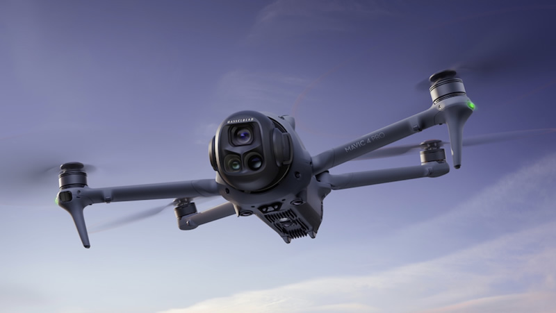
COUNTY-WIDE AERIAL COVERAGE
Rural + commercial drone work
GVC + A2 CofC qualified
Commercial drone insurance
High-resolution aerial stills
4K/6K aerial video
Farms, estates and land
Property and construction
| HEREFORDSHIRE FROM ABOVE | LAND • PROPERTY • RURAL BUSINESS |
A county where the wider view matters

Show land in context
For farms, estates, development land and larger properties, aerial photography can show boundaries, buildings, access, fields and neighbouring features in a way ground photographs cannot.
Rural property needs scale as well as detail
A country house, farm conversion or holiday property often benefits from a mixture of closer architectural angles and wider photographs showing its setting, grounds and approach.
Agricultural sites are working environments
Livestock, machinery, workers, buildings and vehicle movements affect how a farm flight is approached. The useful views are agreed around the purpose of the imagery rather than collecting unnecessary material.
Weather changes quickly across the county
Open farmland, wooded valleys and higher ground can experience different wind and light on the same day. Where appearance matters, the filming window is chosen with conditions in mind.
Hereford city has its own page
This county page concentrates on Herefordshire beyond the city: market towns, villages, rural businesses, farms, estates and countryside. For city-centre, Rotherwas and Skylon Park work, see drone photography in Hereford.
HEREFORDSHIRE DRONE SERVICES
Aerial work for land, property and rural enterprise
The county calls for a different mix of aerial work from Hereford itself.
Farms & agricultural sites
Show holdings, buildings, access, fields and infrastructure for agricultural businesses, diversification projects and site records.
Estates & rural property
Capture country homes, grounds, conversions, equestrian property and larger plots with views that communicate both detail and setting.
Tourism & hospitality
Hotels, holiday accommodation, attractions and venues can use aerial views to show location, grounds and the surrounding countryside.
Land & construction
Document development plots, building work, access and progress with clear viewpoints that can be repeated where useful.
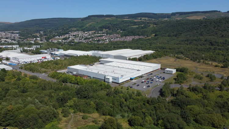
THE COUNTY IS PART OF THE STORY
Show more than the building
Across Herefordshire, the relationship between a property and its surroundings is often one of the most useful reasons to use a drone.
Grounds and boundaries
Wider photographs can explain the scale of land, gardens, paddocks, yards or development plots.
Approach and access
For rural businesses and property, showing how a site connects to the road network can be as important as the building itself.
Landscape setting
Tourism, hospitality and property imagery can use the surrounding countryside as context without allowing scenery to overwhelm the subject.
Practical records
Roof areas, outbuildings, construction work and hard-to-see parts of larger sites can be recorded clearly for review.
DRONE COVERAGE ACROSS HEREFORDSHIRE
Market towns, villages and rural areas
Coverage extends throughout the county, with each location assessed around the exact site and intended aerial work.
Ross-on-Wye & the Wye Valley
Tourism, hospitality, property, rural businesses and construction around Ross-on-Wye can use aerials to show both the subject and its wider valley setting.
Ledbury & eastern Herefordshire
Property, agriculture, vineyards, tourism and businesses around Ledbury can benefit from views that connect buildings and land with their surroundings.
Leominster & north Herefordshire
Farms, food and agricultural businesses, commercial property, estates and development sites form a strong mix of potential aerial work around Leominster.
Bromyard & north-east Herefordshire
Agriculture, rural industry, property, tourism and land projects around Bromyard can use aerial photography for both practical records and marketing.
Kington, Presteigne border & west Herefordshire
Rural property, farms, tourism and land near Kington and the Welsh border often benefit from wider views that explain terrain, access and setting.
Weobley, Pembridge & the Black and White Village Trail
Historic villages, accommodation, visitor businesses and rural properties need sympathetic aerial coverage that shows location without losing the character of the subject.
Golden Valley, Peterchurch & Ewyas Harold
Farms, estates, holiday accommodation, land and rural businesses can use aerial views to communicate scale and their relationship with the surrounding valley.
Hereford city
For city-centre property, Rotherwas, Skylon Park, construction and commercial sites within Hereford itself, visit the dedicated Hereford drone photography page.
HOW A HEREFORDSHIRE DRONE SHOOT WORKS
Plan around the location, not just the postcode
For rural jobs, a pin or What3Words location is particularly useful. It helps identify the actual property, access and surrounding terrain before travel.
01
Send the exact location
Provide the address or map pin, preferred date, required photographs or movements and intended use.
02
Assess access and surroundings
Airspace, terrain, buildings, roads, livestock, neighbouring property and suitable operating positions are considered.
03
Capture the useful views
The flight works through the agreed property, land, inspection or video coverage while adapting to conditions on site.
04
Receive organised files
Edited photographs, agreed clips or source footage are supplied digitally for property, reporting, marketing or production.
DRONE PHOTOGRAPHY & VIDEO HEREFORDSHIRE
Need aerial coverage somewhere in Herefordshire?
Send the location, preferred date and what the photographs or footage need to show.